Mount Aragats
Mount Aragats
At 4,095 m, Mount Aragats dominates Armenia with its four peaks. Trekking, Amberd Fortress, and Lake Kari: the complete guide to preparing your ascent.
Positioned northwest of Yerevan, Mount Aragats ranks among Armenia's must-visit mountain destinations. Its four summits offer vastly different experiences, from accessible outings to more ambitious climbs. You can reach the site with ease from Yerevan and use this excursion to discover the landscapes and Amberd Fortress.
History
Mount Aragats formed millions of years ago during the Pliocene epoch. Researchers estimate that the last eruptions occurred between the end of the Pleistocene and 3000 BCE. Since then, no activity has been recorded. It can be considered an extinct volcano.
Geography Essentials
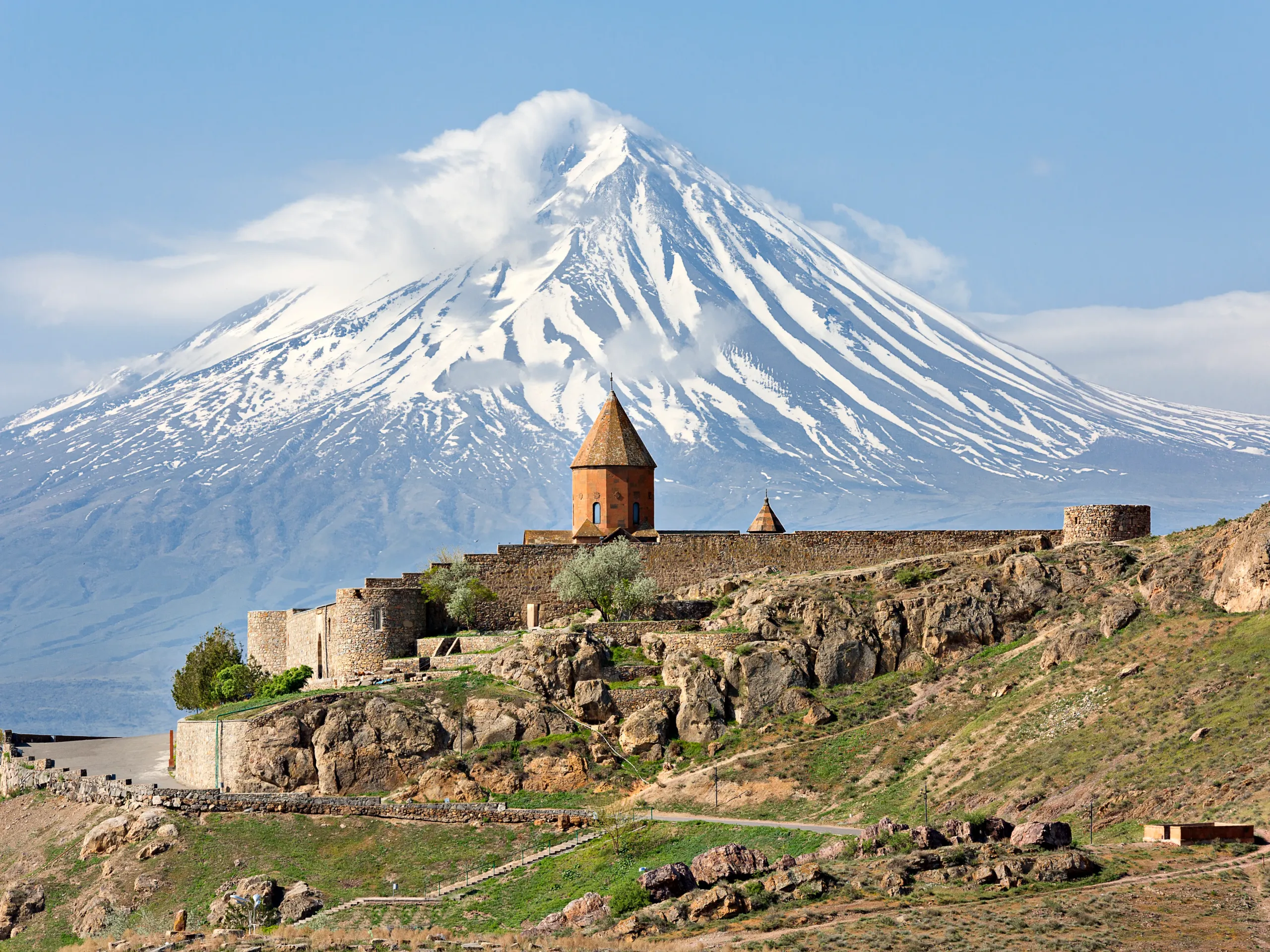
At 4,095 meters, Mount Aragats is the highest peak in Armenia and the Lesser Caucasus. From its ridges, it dominates the vast Armenian plateau stretching at its feet.
It lies in the northwest of the country, between the Aragatsotn region to the east and south and the Shirak region to the north and west. Around the mountain lie the towns of Aparan, Ashtarak, Talin, as well as Maralik and Artik. The capital Yerevan sits just some forty kilometers to the southeast.
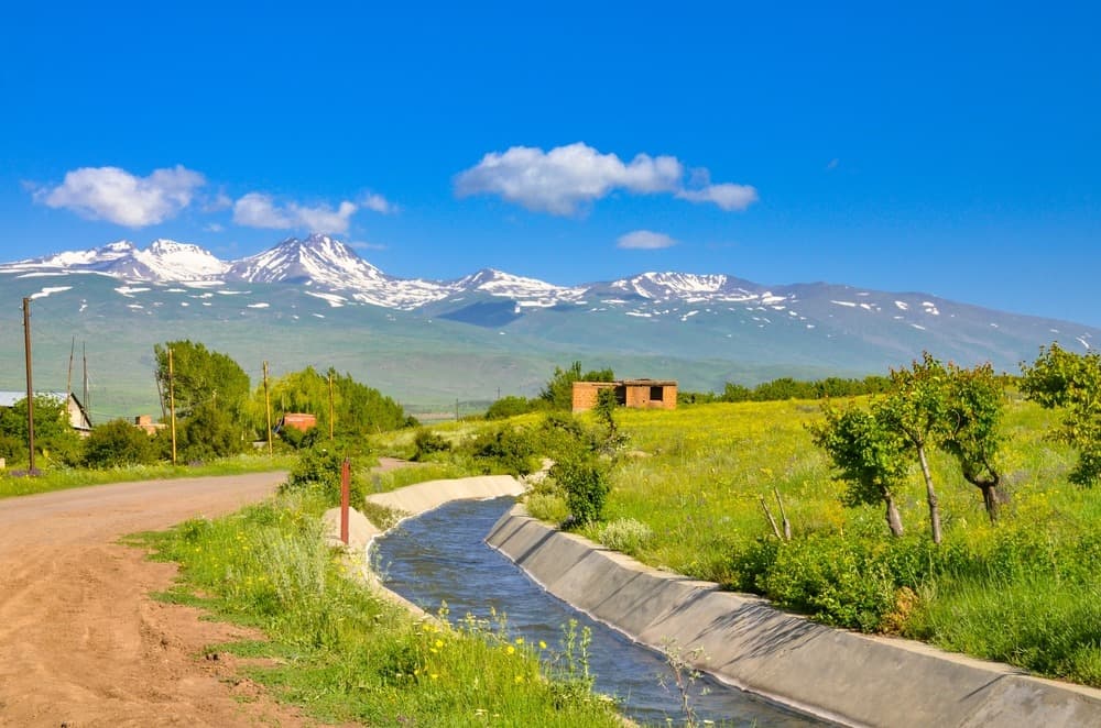
The volcano presents a conical silhouette with gentle slopes carved by ancient glacial valleys. Its summit comprises four peaks: 3,916 meters to the east, 3,879 meters to the south, 4,080 meters to the west, and 4,095 meters to the north. At these altitudes, snow covers the heights in winter, and some snow patches persist into summer.
Aragats is a stratovolcano composed of andesitic and dacitic lavas. Over nearly thirteen kilometers, eruptive vents in the form of cinder cones and volcanic fissures appear around the summit and along the slopes. These openings produced vast lava flows between the late Pleistocene and the Holocene.
Climbing Mount Aragats
The climb begins at the mountain's base. From there, the landscape shifts as you gain elevation. Marked trails guide you first through grasslands, then into rockier zones that echo the mountain's volcanic origins.
As you progress, the views expand, allowing you to observe Armenia from another perspective. Each summit of Mount Aragats offers a different level of difficulty, giving you the choice between an accessible hike or a more demanding ascent.
Once you reach the highest point at 4,090 meters, enjoy a sweeping panorama of the Lesser Caucasus. This is the highlight of your journey and a moment many hikers cherish for the sense of peace it brings.
When to Visit
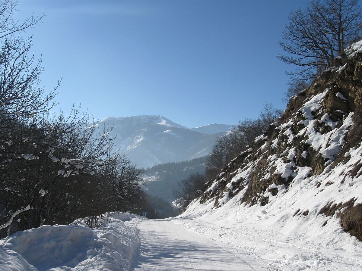
The best period for climbing the mountain runs from May through mid-October. In May and June, part of the high-altitude trails may still be snow-covered. In that case, pack warm clothing and appropriate footwear. From July onward, the weather becomes more stable and snow remains only above 4,000 meters.
The simplest way is to head to the village of Byurakan, located at the mountain's base. From Kilikia bus station in Yerevan, take a bus that will take you directly there.
Want to discover this destination?
Our local advisors design your tailor-made trip.